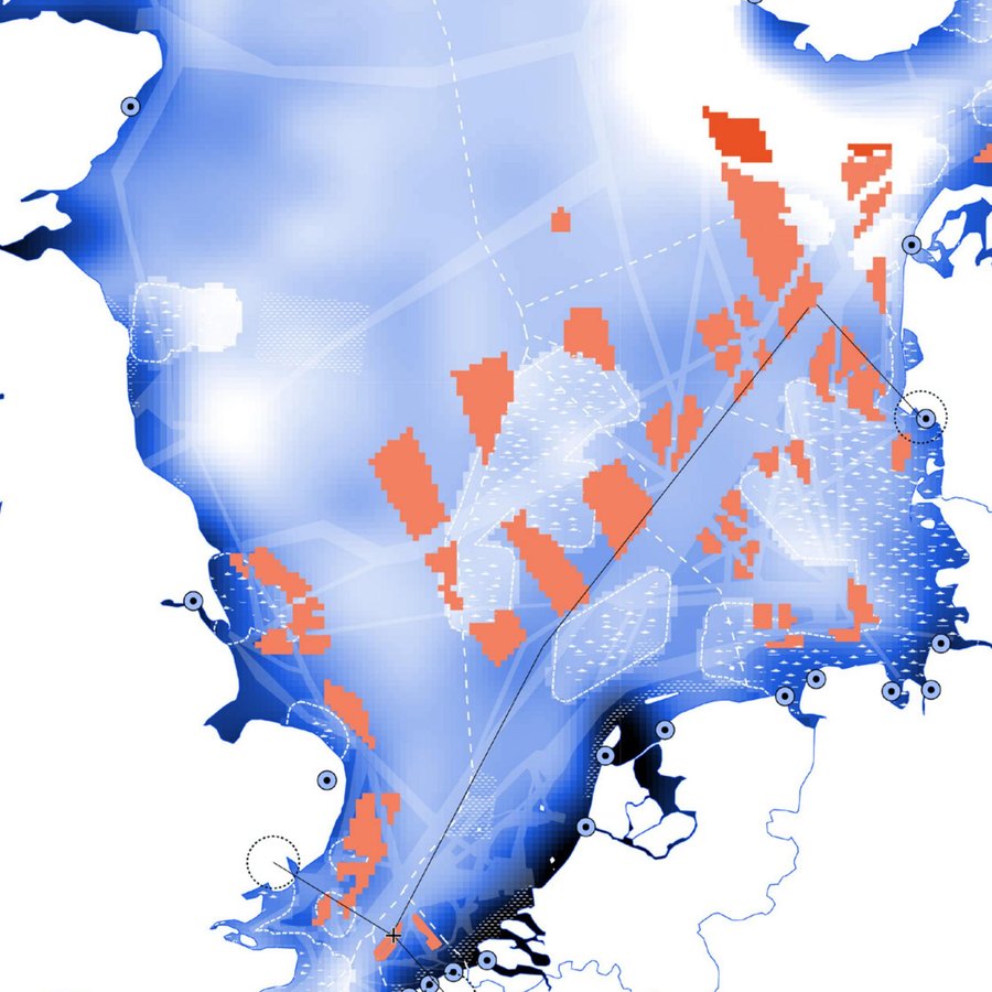
 north_sea_msp.geojson
Optimising 280 GW of North Sea energy against ecology & fisheries
A linear-optimization engine that turns one of the world's most contested seas into defensible trade-off scenarios by balancing offshore resource generation, environmental considerations, and the marine spatial plans of seven countries.
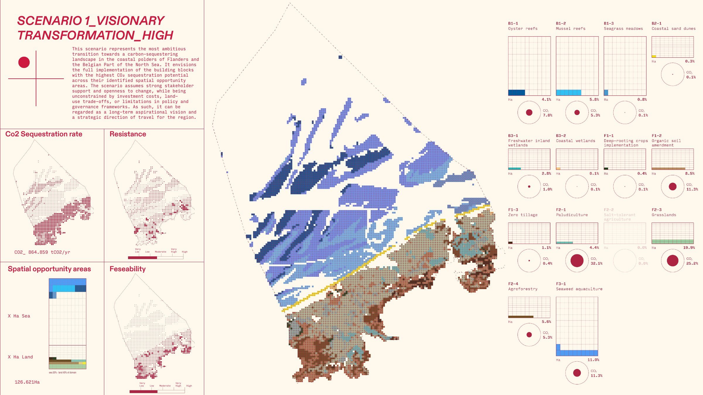 bern_flemish_coast.geojson
Mapping where nature-based carbon pays off on the Flemish coast
A carbon-accounting model for the Belgian coast that maps where nature-based interventions (from seagrass and oyster reefs to paludiculture and agroforestry) would draw down the most CO₂, then narrows the map to what is realistic to actually deploy.
Read case study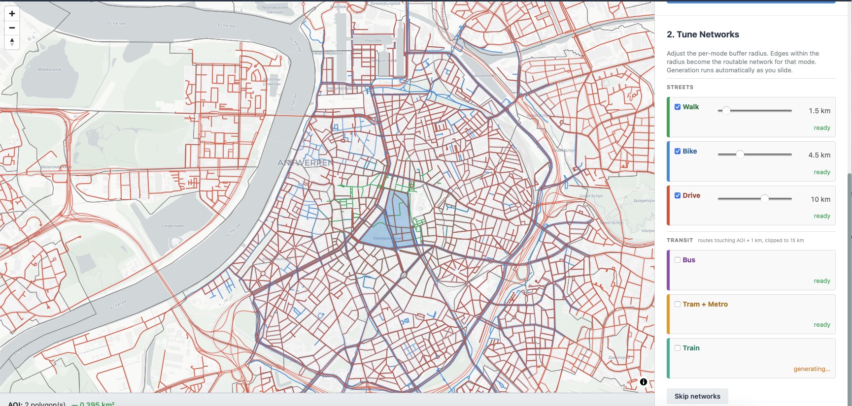 district_loader.py
Turning scattered open data into standardised city blocks, anywhere
A self-serve tool that turns the scattered mess of public open data into standardised, ready-to-use city blocks. Pick an area off the census map, choose the datasets you want, and it fetches, cleans and exports them to one schema. Built to work in any region, it runs today across Flanders, Brussels and New York from the same code.
Rapidly testing the impact of 200+ transit projects
When a region is unable to decide which transit projects to prioritize, they need a fast and efficient way to compare the impact of each project. We created a transit model that can rapidly test the impact of a project, allowing for informed decisions.
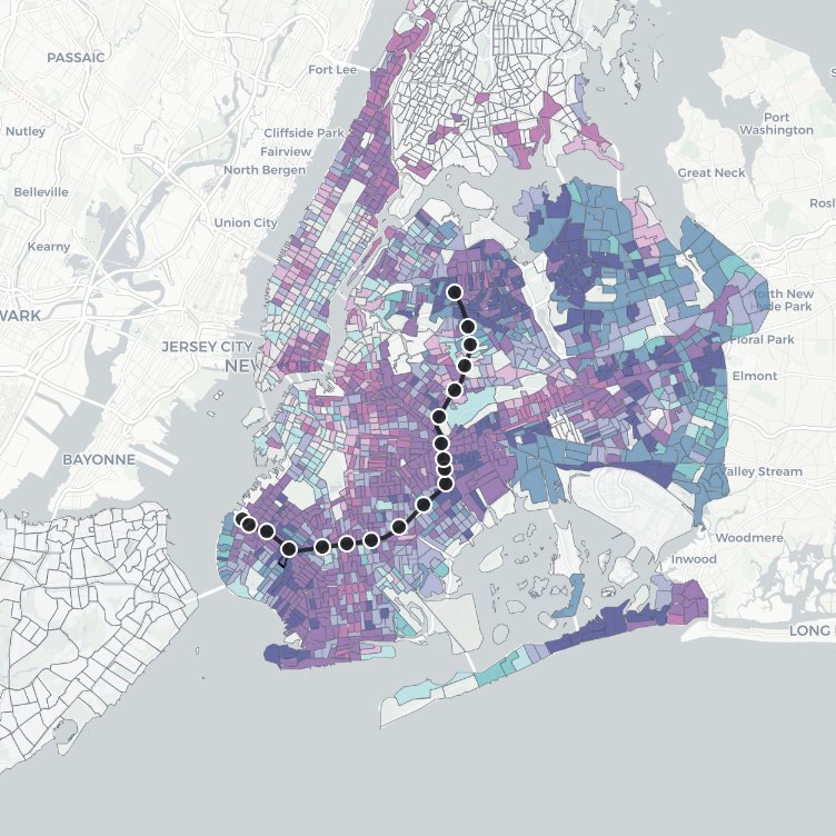 ibx_impact.html
An interactive model of the proposed Interborough Express
An interactive map that lets you explore what the proposed **Interborough Express** would do to travel across New York, and, crucially, whether its benefits reach the city's most vulnerable communities. Built to let a graduate planning course probe that question directly.
 gnss_pipeline.py
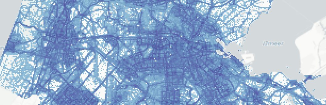
Understanding how a city moves under different conditions
Turning 60 million raw phone-location pings into a mode-aware picture of how a city actually moves (on foot, by bike, by car) and how that shifts with the weather, the day, and the hour. The GNSS engine behind ORG's EU-funded Urban Movement Intelligence System.
 river_change.ipynb
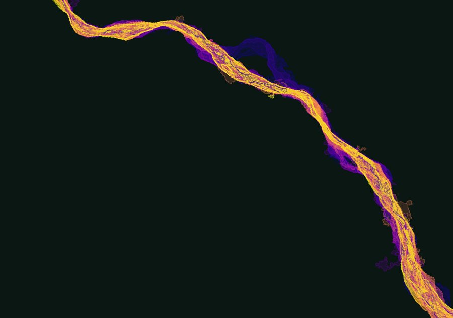
Reading four decades of river change from satellite
Four decades of Landsat imagery, turned into a baseline for a new metropolitan river park in Santa Cruz de la Sierra: how the Río Piraí has shifted and shrunk, where vegetation has come and gone, and what a flood would reach.
 amenity_density.py
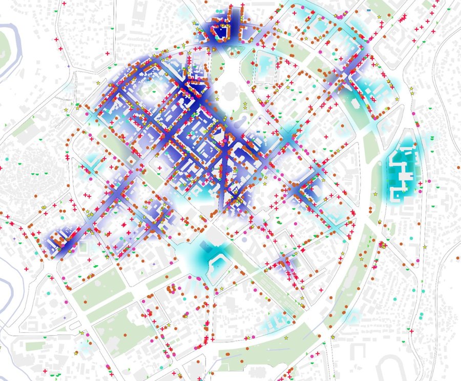
Reading a city's fabric around a new landmark
An amenity-and-walkability portrait of central Yerevan: 3,146 points of interest classified, mapped, and turned into density surfaces to read the urban fabric the World Trade Center Yerevan would join.
 ndvi_ndsi.py
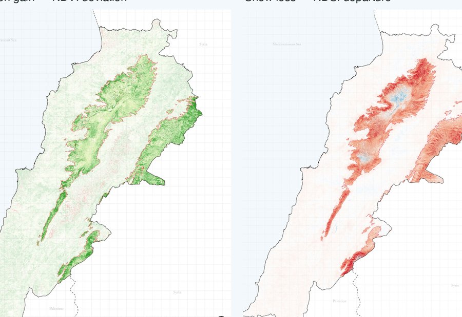
Where the snow retreats, the mountains green
A satellite time-series read of Lebanon's high mountains: as snow cover has steadily retreated over 36 years, vegetation has advanced up the same slopes: the NDVI and NDSI analysis behind ORG's Land Degradation Neutrality diagnostic.
 solar_suitability.py
Weighing five layers to site solar farms
A transparent weighted-overlay model that scores every cell of the West Bank for how well it suits a solar farm, balancing terrain, sunlight, farmland value, and distance to towns, then distilling a noisy surface into a handful of clean candidate zones.
 groundtruth_field.geojson
Three summers of exploration fieldwork across the Canadian North
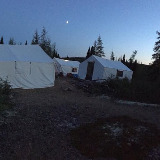
Three summers as an exploration field technician: helicoptered into the bush to walk soil-sample lines point by point across the tundra of Nunavut, the Labrador interior, and the Yukon goldfields. Hard manual fieldwork out of remote camps: the ground-level data collection that underpins the rest of my work.
Read case study